Forest roads erosion toolbox
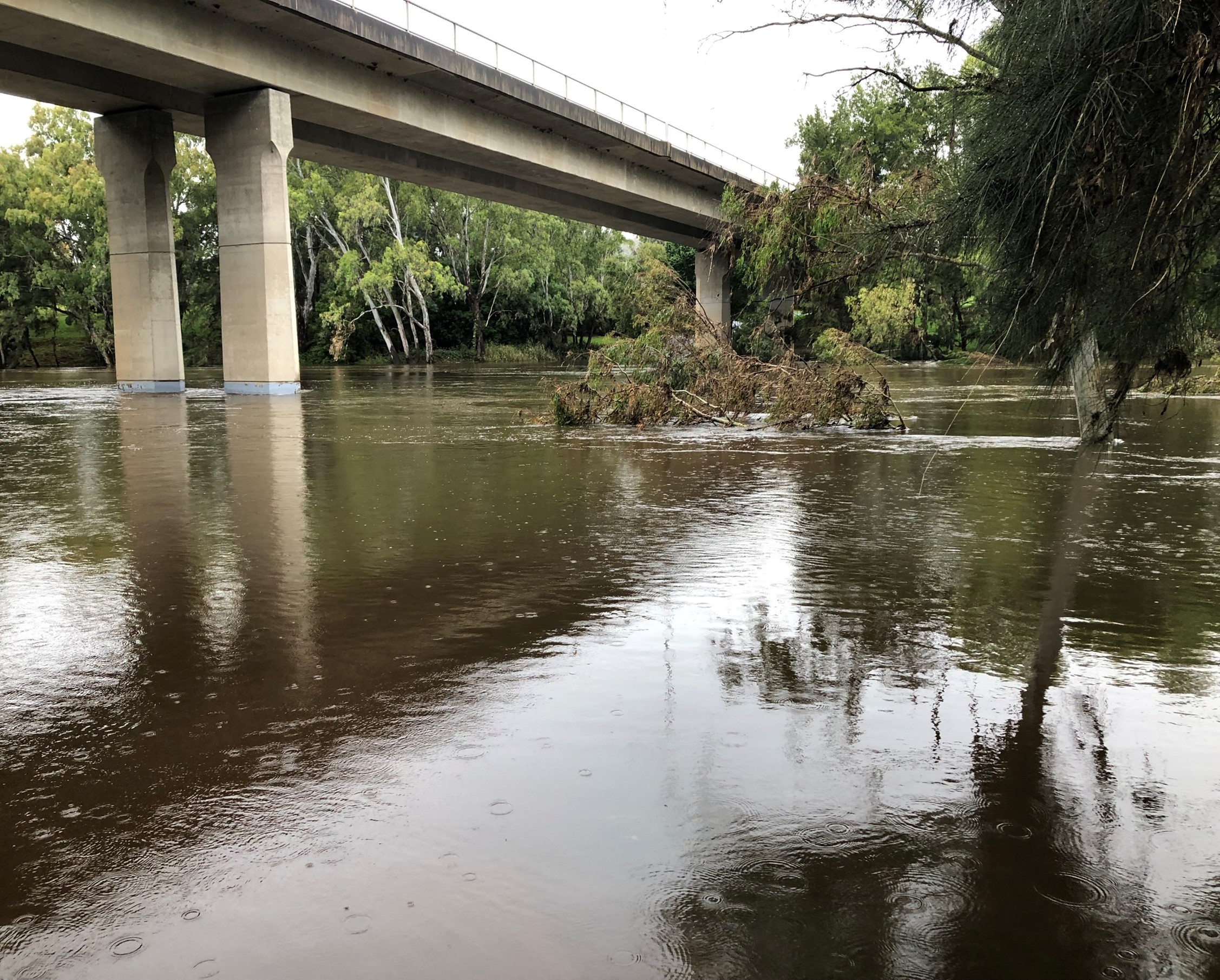
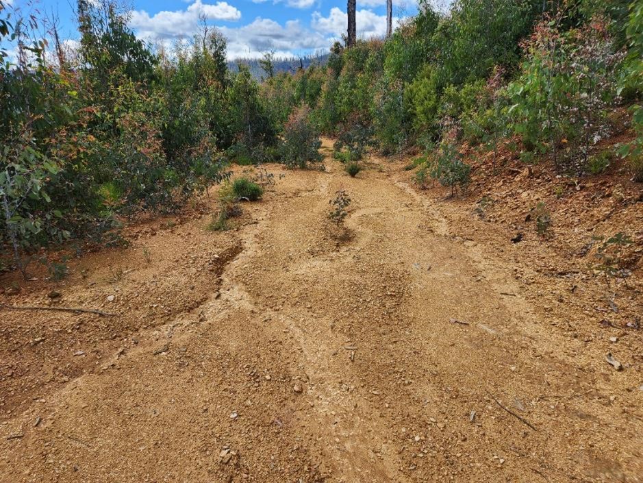
Unsealed roads are a major source of pollution in forested catchments. Road networks span hundreds to thousands of kilometres, so how can managers decide where to focus sediment control measures?
Find out more information here:
Scientific research identified that connectivity between roads and waterways is the major control on pollution risk, but tools to model and map road-waterway connectivity have not been developed. Alluvium, in collaboration with the University of Melbourne, has addressed this gap by translating the latest scientific understanding of hydrology, sediment transport into straightforward management prescriptions. Applications have included quantifying the impact of road drainage design on sediment delivery, determining optimal buffer widths for waterways in forest coupes and optimizing the long-term maintenance and decommissioning of forest roads.
The forest roads sediment delivery toolbox, funded by the Alluvium Group's Research and Insights Program, combines insights from these projects into a GIS toolbox that automates road segmentation and connectivity mapping. The tool allows users, with minimal data inputs, to quickly understand where sediment delivery risk is highest and to prioritize investment in the road network.
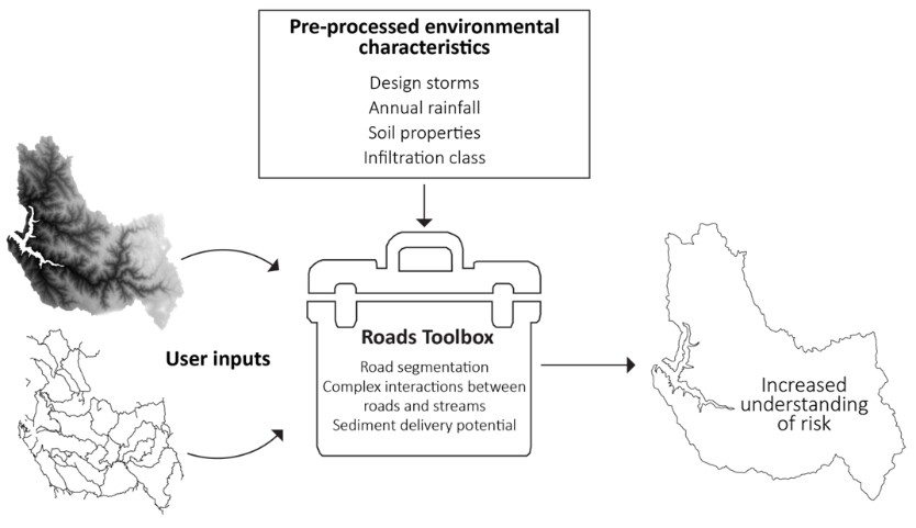
The toolbox outputs summary data and risk maps that can easily be shared and interpreted. The toolbox is a flexible platform that will be expanded over time to include testing multiple management scenarios, including functions for road design and expected changes in rainfall intensity and bushfire regimes.